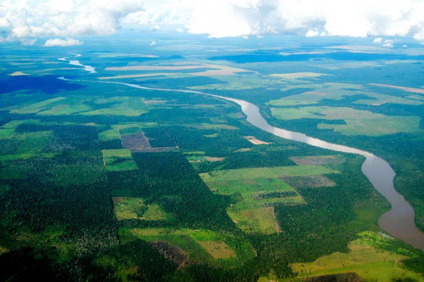
Embrapa and the National Institute for Space Research (Inpe) released this week the results of the most recent mapping of land cover and land use in deforested areas of the Amazon biome. Available openly on the TerraClass GeoPortal, the data refers to the year 2024 and provides an overview of the dynamics of areas occupied by agriculture and livestock farming, as well as areas undergoing natural regeneration in the region. Since 2011, the TerraClass project has produced systematic mappings that qualify deforestation, detected by the annual monitoring system for native vegetation suppression using remote sensing (Prodes). It identifies the type of activity that occupied the deforested areas and, broadly speaking, encompasses three main thematic categories: agriculture (including temporary, semi-perennial, and perennial crops and forestry), pasture, and secondary vegetation. Based on the historical series, which began with the 2008 mapping for the Amazon, it is possible to analyze the transitions that have occurred over time and improve the understanding of the conditioning and determining factors of deforestation processes. Added to the mapping of the Cerrado biome with a base year of 2024, the project now offers a more up-to-date picture of this entire region. “TerraClass is an official source of the Brazilian State; its data presents a cartographic scale compatible and consistent with other national databases, such as Prodes and the Rural Environmental Registry (CAR), and supports different public policies for monitoring, recovering degraded areas, and initiatives aimed at the eligibility and traceability of Brazilian agricultural production. With this update, we offer an integrated database of these two important biomes, which correspond to approximately 73% of the national territory,” emphasizes researcher Alexandre Coutinho, from Embrapa Agricultura Digital, one of the project coordinators. The 2024 mapping is based on Sentinel-2/MSI satellite imagery, using a 16-day product with 10-meter spatial resolution, and processed entirely with the adoption of national technological packages developed and made freely available by INPE (Brazil Data Cube-BDC and Satellite Image Time Series-SITS). The result indicated that the Amazon biome, with its more than 4 million km², has approximately 78% of its area covered by natural forest formations and other typical non-forest natural ecosystems of the region. Of the areas altered by human activity up to 2024, those destined for agricultural crops correspond to 12%, with temporary agriculture (short-cycle crops) being predominant, covering 10.5%. Among these temporary crops, 20% of the areas produce only one crop per year. The practice of more than one agricultural production cycle, mainly represented by the soybean and corn crop-and-harvest system, corresponds to 80%. In 2022, temporary crops with more than one cycle represented 88%. "For the first time in the historical series, the frequency of agricultural areas with more than one crop in the same area decreased, and the reason may be related to the occurrence of drought and extreme heat that mainly compromised the planting window for the second crop," explained the researcher. Comparison with the previous mapping shows that single-cycle agricultural crops increased by 95% between 2022 and 2024. This expansion occurred mainly in locations with already consolidated agricultural uses, over areas that previously had multi-cycle crops (35%) or over pastures (30%). The expansion over areas of primary natural vegetation or deforested areas in 2022 was low, corresponding to only 0.9% and 2% respectively. According to Adriano Venturieri, a researcher at Embrapa Amazônia Oriental, this mapping also revealed that the category of perennial crops (cocoa, palm oil, citrus, coffee, etc.) expanded from 3,903 km² in 2022 to 4,824 km² in 2024, representing an increase of 921 km² (23.6%). This expansion reflects the growing importance of perennial crops in the productive restoration of anthropized landscapes, recovering ecosystem services and preserving biodiversity. Regarding regeneration processes, the new mapping for 2024 showed that the area of secondary natural vegetation grew by 3% compared to 2022, an increase mainly due to transitions over pasture areas. It was also observed that 84% of secondary vegetation remained stable, contributing to both the preservation of biodiversity and the sequestration of greenhouse gases, as well as to achieving the goals of Brazil's National Plan for the Recovery of Native Vegetation (Planaveg), comments INPE researcher Marcos Adami. Regarding pastures, in 2024 they represented 66% of the total anthropized areas, with herbaceous pastures covering 76.6% of this total and shrubby-arboreal pastures 23.4%. The mapping work of the Amazon biome, base year 2024, received funding from the World Bank and support from the Foundation for Research and Development Support (FAPED).
Key findings for the Amazon and Cerrado biomes.
The most recent mappings produced by the TerraClass project, referring to 2024, present a more up-to-date picture of land cover and land use dynamics in these two biomes, capable of supporting sustainable territorial development policies for the country. Approximately 64% of the territory encompassed by the Amazon and Cerrado biomes has preserved primary natural vegetation; 18% of the total area of the region is represented by pastures and 7% by agriculture, including temporary, semi-perennial, perennial crops and forestry. Areas of temporary agricultural crops represent 19% of the total anthropized areas of the Cerrado and Amazon biomes. The most significant agricultural class is agriculture with more than one annual cycle, representing 68% of the production areas. Between 2022 and 2024, annual agriculture expanded by 10%, considering both biomes. More than 91% of these new areas occurred on already consolidated agricultural uses, 5% on deforested areas from 2022, 3% on secondary natural vegetation, and 2% on primary vegetation. The area of secondary natural vegetation grew by 0.4% compared to 2022. 84% remained stable during the period, while 15% originated from pasture regeneration.
This text was translated by machine from Brazilian Portuguese.